The Cotswold Way Map Booklet

Kev Reynolds

£9.95

In stock

Map of the 102 mile (163km) Cotswold Way National Trail, between Chipping Camden and Bath. This booklet is included with the Cicerone guidebook to the trail, and shows the full route on OS 1:25,000 maps. The trail typically takes two weeks to walk, and is suitable for walkers at all levels of experience.

ISBN: 9781786312112 Category:

Description

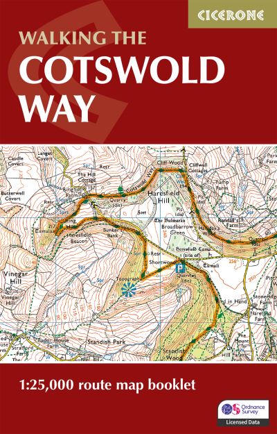
A guidebook to walking the Cotswold Way National Trail between Chipping Camden and Bath. Covering 163km (102 miles) across the Cotswolds National Landscape this straightforward hike takes 2 weeks to walk.The full route line is shown on 1:25,000 OS mapsThe map booklet can be used to walk the trail in either directionSized to easily fit in a jacket pocketThe relevant extract from the OS Explorer map legend is includedAn accompanying Cicerone guidebook – Walking the Cotswold Way is also available, which includes a copy of this map booklet.

Additional information

Weight 0.054 kg
Dimensions 16.6 × 16.6 × 0.3 cm
Author

Publisher

Imprint

Cover

Paperback

Pages

48

Language

English

Edition

2nd Edition

Dewey
Readership

General – Trade / Code: K

Join our Mailing List

Sign up to the Jaffé & Neale newsletters to receive updates on forthcoming titles we’re excited about, book club information and book signing events at the store.