Description
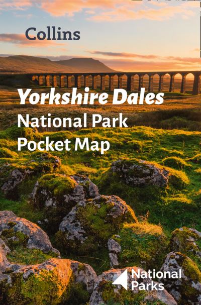
Handy little full-colour map and guide of Yorkshire Dales National Park.Detailed mapping and visitor information to the National Park along with a selection of photographs. Map at a scale of 1:140 000 (1cm to 1.40km, 2.2 miles to 1 inch).This small map with additional text and photographs gives a great overview of the Yorkshire Dales National Park, and is the perfect companion for exploring this beautiful area of Northern England.Clear, detailed mappingKey park, tourist and travel informationIdeal for planning visits to the National ParkIndex to help locate and plan your tripThis and the Yorkshire Dales Park Rangers Favourite Walks (ISBN: 9780008462659) are the perfect companions for exploring this superb walking area of England.


