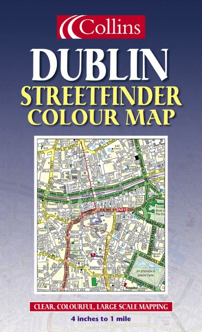
Dublin streetfinder colour map

£4.50

In stock

4 inches to 1 mile 1:15,840 approx. Full colour map of Dublin with street level detail and full index to street names. The mapping is fully updated and is presented in a durable card cover.

ISBN: 9780007147526 Category:

Description

4 inches to 1 mile 1:15,840 approx. Full colour map of Dublin with street level detail and full index to street names. The mapping is fully updated and is presented in a durable card cover.

MAIN FEATURES
Full colour street map with colour classified roads
Fully updated for 2003
Full index to street names

INCLUDES
Important buildings and places of interest
Car parks and railway stations

AREA OF COVERAGE
From Ballymun and Baldoyle in the north to Dundrum in the south, includes Castleknock and Phoenix Park in the west to the coast in the east.

WHO THE PRODUCT IS OF INTEREST TO
Residents, businesses and visitors will all find this map a useful purchase.

Additional information

Weight 0.118 kg
Dimensions 23 × 14 × 0.6 cm
Author
Publisher

Imprint

Cover

Other

Pages
Language

English

Edition

Revised edition

Dewey

912.41835 (edition:21)

Readership

General – Trade / Code: K

Join our Mailing List

Sign up to the Jaffé & Neale newsletters to receive updates on forthcoming titles we’re excited about, book club information and book signing events at the store.